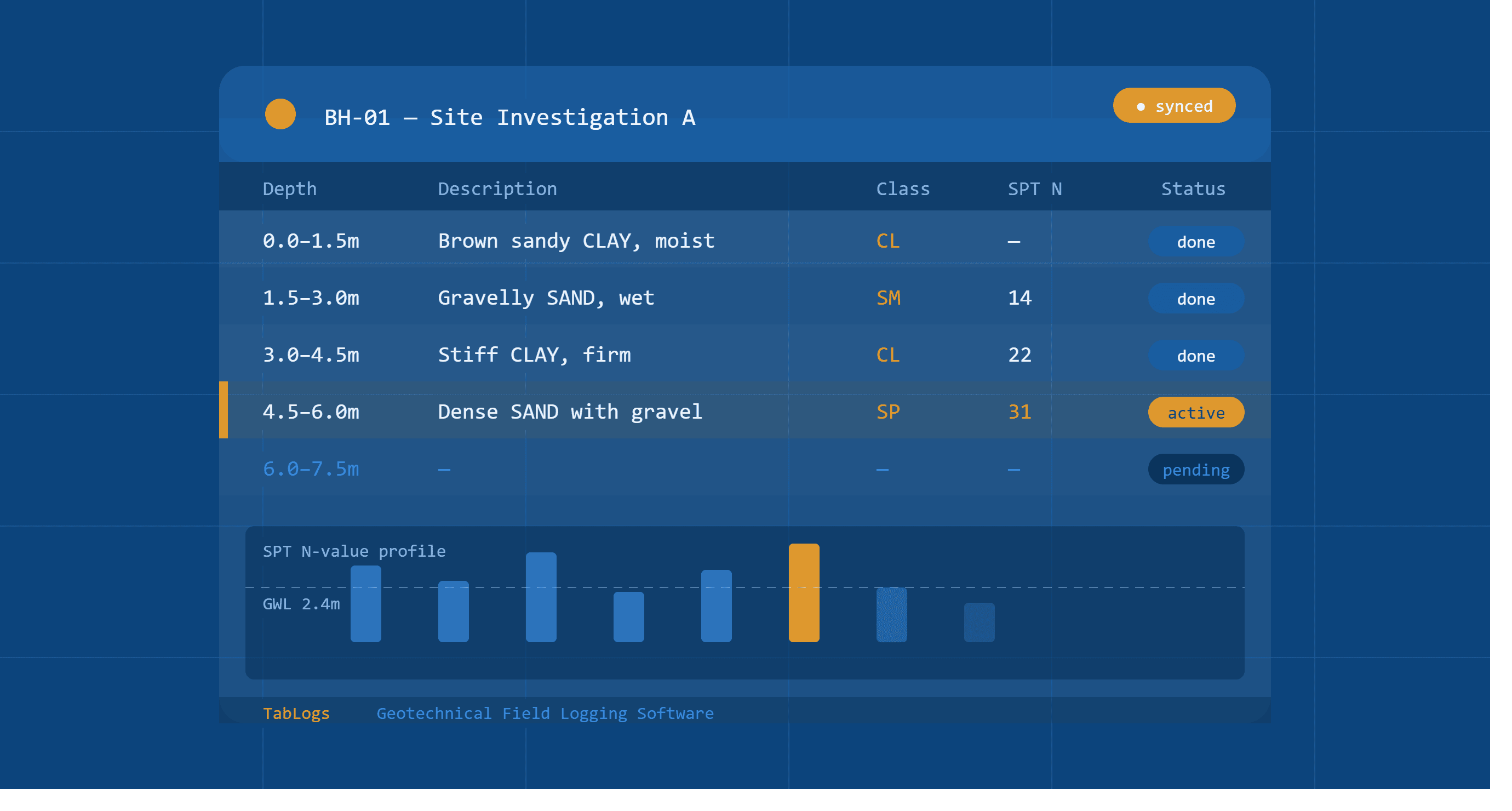
A geotechnical field log is a structured record of observations, samples, and test results collected during a site investigation. Field logs capture what is encountered at the surface and subsurface during drilling, test pitting, cone penetration testing, and other investigation methods. Geotechnical engineers use field logs to document ground conditions in real time, forming the primary data source for laboratory testing, reporting, and design.
What is a geotechnical field log?
A geotechnical field log is distinct from a final borehole log or factual report. It is the raw record created at the investigation location — capturing observations as they happen, before any office processing or interpretation. Field logs may be completed on paper or digitally, and typically cover drilling progress, soil and rock descriptions, sample collection, in situ test results, and groundwater observations.
What does a geotechnical field log record?
| Field | What it captures | What to record on the log |
|---|---|---|
| Investigation ID | Unique identifier for the borehole, test pit, or CPT location | Record consistently across all logs, photos, and sample labels so everything can be cross-referenced without ambiguity. |
| Location and coordinates | Easting, northing, and surface elevation at time of setup | Record at the time of setup using your agreed coordinate system. Note the datum and projection used. |
| Investigation type | Borehole, test pit, CPT, monitoring well, or other method | Record the investigation type at the header. Note any changes in method during the investigation. |
| Drilling or excavation method | Equipment and technique used | Record the method in use at the start of the log. Note any method changes and the depth at which they occurred. |
| Depth intervals | Top and bottom depth of each observation or sample interval | Record to the nearest 10mm. Note any discrepancy between planned and actual sample depth. |
| Soil or rock description | Material type, colour, moisture, consistency, structure | Follow your regional standard: AS 1726 (Australia), BS EN ISO 14688 (UK), or ASTM D2488 (US). Record at time of logging, not from memory. |
| Sample type and ID | Split spoon, Shelby tube, bulk, core run — linked to lab records | Record sample type and assign a unique ID at the time of collection. Link to lab request immediately to preserve traceability. |
| In situ test results | SPT blow counts, CPT readings, vane shear, field density | Record raw values at the time of testing. Note the test method and any equipment or procedural anomalies. |
| Groundwater observations | Depth and timing of water strike and stabilised level | Record at the time of strike. Note elapsed time since drilling and method of measurement. Also record stabilised level if measured after a waiting period. |
| Field notes | Equipment issues, drilling conditions, unusual observations | Record in real time, not from memory at the end of the shift. |
Types of geotechnical field logs
Geotechnical site investigations use different field log formats depending on the investigation method:
Borehole logs record subsurface conditions encountered during drilling. They are the most common type of geotechnical field log and form the basis of most factual reporting.
Test pit logs record conditions exposed during mechanical or hand excavation. They typically include plan dimensions, excavation depth, and face descriptions at each depth.
CPT logs record continuous electronic measurements of cone resistance, sleeve friction, and pore pressure as the cone is pushed into the ground. CPT data is captured digitally by the cone equipment rather than manually by a logger.
Monitoring well logs record installation details for groundwater monitoring infrastructure including casing depth, screen interval, and filter pack specification.
How to complete a geotechnical field log accurately
Accurate field logs depend on consistent practice at the investigation location. Key principles:
- Record observations in real time, not from memory at the end of the shift
- Classify soil and rock in accordance with your regional standard — ASTM D2488 in the US, AS 1726 in Australia, BS EN ISO 14688 in the UK
- Note the time and conditions of any groundwater observations
- Record drilling issues — caving, heave, loss of circulation, refusal — as they occur
- Link every sample to its depth interval and preserve the ID through to the laboratory
- Photograph each sample tray before and after classification
Paper field logs vs digital field logs
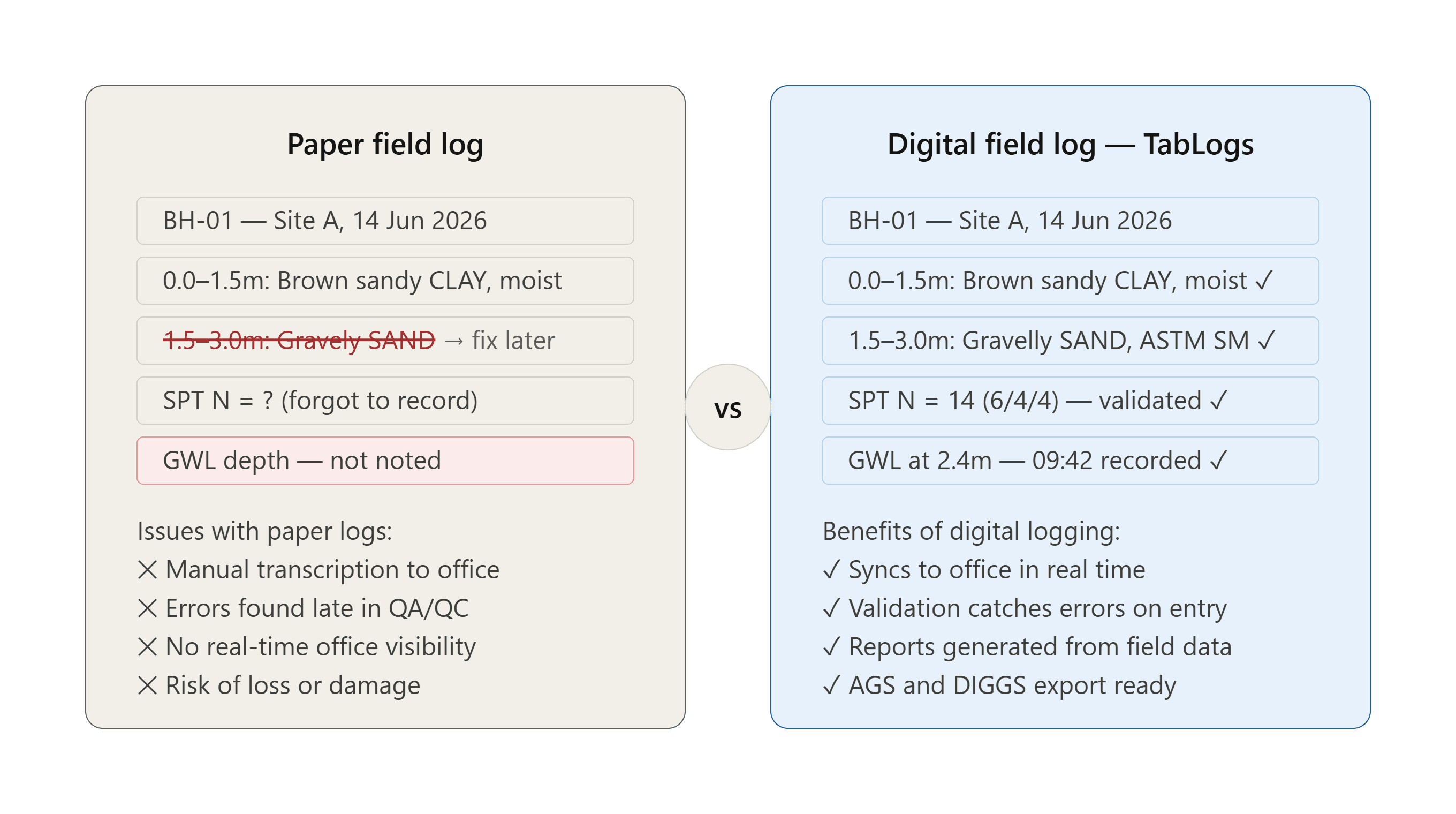
Paper field logs have been the industry standard for decades. They are simple, require no equipment, and work in any conditions. The limitations appear downstream — paper logs require manual digitisation, are prone to transcription errors, and can be lost or damaged before they reach the office.
Digital field logging captures data in a structured format directly on a tablet or mobile device. Data syncs to a central platform when connectivity is available, eliminating transcription and making logs available for review while drilling is still underway.
| Paper logs | Digital logs | |
|---|---|---|
| Equipment required | None | Tablet or mobile device |
| Offline capability | Always | Depends on platform |
| Transcription required | Yes | No |
| Office review during drilling | No | Yes |
| Photo attachment | Manual | Direct to record |
| Export formats | Manual digitization | AGS, DIGGS, PDF |
How digital field logging improves geotechnical workflows
Digital field logging reduces the gap between data collection and data use. When field logs are captured digitally, engineers can review borehole progress from the office while drilling is underway, identify missing intervals or inconsistencies before the rig moves, and generate boring log reports directly from field records without re-entry. For firms managing multiple rigs across multiple sites, digital logging also provides real-time visibility into investigation progress — reducing the coordination overhead that comes with paper-based workflows.
Field log software for geotechnical investigations
Geotechnical field logging software allows engineers to capture structured field logs on any device, online or offline. Data is stored in a centralised platform and exported in standard formats including AGS and DIGGS. TabLogs is built specifically for geotechnical field logging, with configurable templates, ASTM D2487 soil classification, offline sync, and automated report generation from field records.