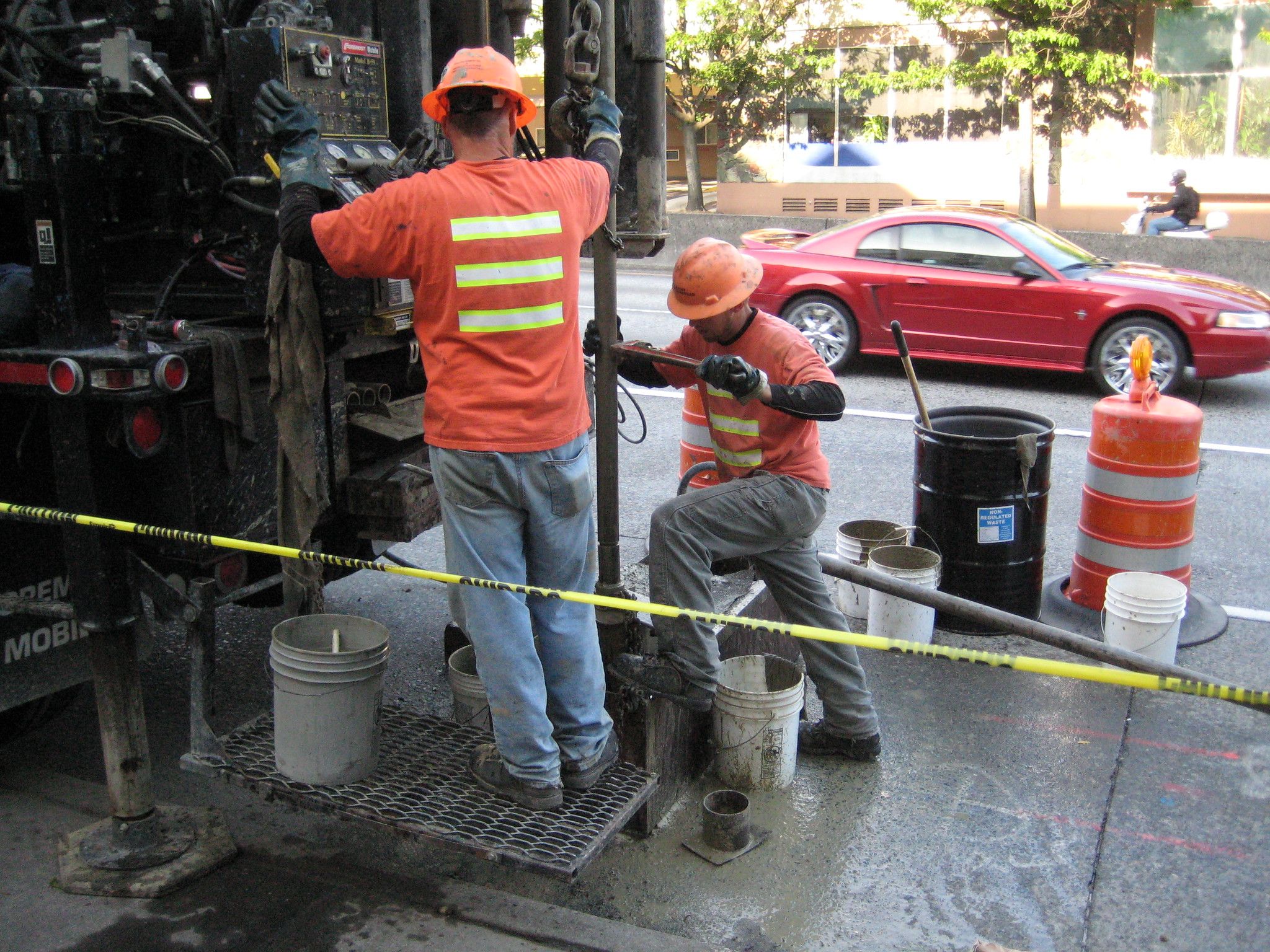
TL;DR: Borehole log consistency doesn't fail because of sloppy fieldwork. It fails at re-keying points, where classification codes get transcribed inconsistently between technicians, unit conversions happen manually, and ambiguous field entries get resolved by whoever's typing them up in the office, not whoever logged them. This piece walks through a realistic example of how a single misclassified stratum drifts from field note to final log, what validation at the point of capture would need to catch to prevent it, and what a real audit trail back to source looks like.
How teams keep borehole logs consistent
Consistent borehole logging from field to final report comes down to three practices, done at the point of capture rather than after the fact:
- Standardise terminology and units at entry. Classification and consistency ratings selected from a fixed set (tied to AGS4 or BS5930, for example) rather than free-typed, so two technicians logging similar ground produce directly comparable entries.
- Cross-check classification between adjacent boreholes. Flag material changes between nearby logs while a technician can still confirm whether it's a real geological transition or a terminology slip.
- Keep every value traceable back to its source. Any reported number should trace directly to its borehole, depth, technician, and date, no paper trail required.
The rest of this piece looks at what happens when these practices aren't in place, and what a real audit trail and traceability actually look like on a project.
A worked example: how one entry drifts
Say a field technician logs a stratum using USCS as "sandy CLAY, medium plasticity, firm" at 3.2m depth on borehole BH-14. On the same site, a different technician logs a visually similar stratum in BH-17 as "CLAY, sandy, medium stiff." Same material, different site conventions, both technically defensible under a loose logging standard.
Weeks later, in the office, someone transcribing both logs into the reporting system has to decide whether "firm" and "medium stiff" mean the same consistency rating (they don't, under most consistency charts, firm and medium stiff sit at different ends of undrained shear strength ranges). If that person wasn't on either site, they're making a judgment call, not a field observation. Multiply that across forty boreholes on a linear project like a transmission line corridor, and small inconsistencies like this compound into a final 3D model with strata boundaries that shift for reasons that have nothing to do with the actual ground.
Where the checks need to happen
A validation rule tied to a defined standard, AGS4 or BS5930's field description terminology, for example, is exactly what would have caught the "firm" vs "medium stiff" ambiguity between BH-14 and BH-17. Enforced at the moment of entry, on-site, the technician can still confirm what they actually observed, rather than the distinction getting resolved weeks later from a desk by someone reconciling two field sheets. Digital borehole logging platforms provide different ways to do this. You can compare borehole logging platforms here.
Cross-referencing between adjacent logs. Flagging when strata classification changes materially between adjacent or nearby boreholes prompts a technician-level check ("is this a real geological transition, or a terminology inconsistency?") while it's still cheap to resolve.
Unit and format enforcement. Depth units, moisture content notation, and classification codes need to be structurally enforced, not manually reconciled, so a technician physically can't submit "3200mm" in a field expecting "3.2m" without a conversion happening automatically and consistently.
What a real audit trail looks like
If an engineer or a client questions a value in a final report, for example a specific SPT N-value driving a bearing capacity calculation, the traceability requirement is being able to go from that reported number directly back to: which borehole, which depth, which technician, which date, and the original unedited field entry, without anyone needing to dig through a paper trail or ask around to reconstruct it. That's the difference between "we believe this data is consistent" and "here's proof this data is consistent."
Case study: consistency at scale
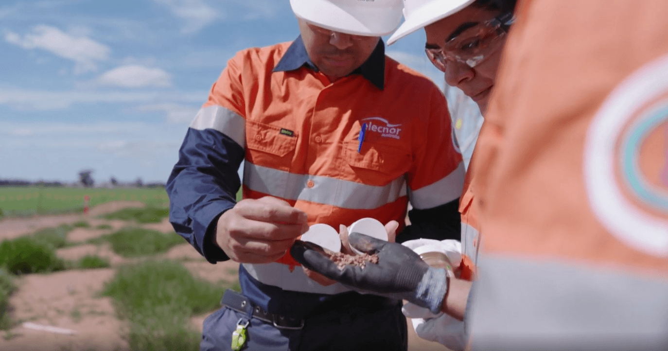
Elecnor's geotechnical team used this exact approach on a 700km transmission line corridor between Buronga and Wagga Wagga in NSW, supporting foundation design for towers over 50m tall. Across two segments alone, L2 covered 370km and generated 3,552 logs, L5 covered 171km and generated 722 logs, all captured directly in the field rather than transcribed later from paper.
The team logged offline in remote areas and synced once back in range, so every borehole, sample, and photo went in at the point of observation rather than being reconstructed from field notes afterward. Photos were tagged directly to their borehole records instead of managed as a separate set of files to cross-reference later, closing off one of the more common places traceability gets lost. Because the format stayed consistent across every technician and location, logs could go straight from field to CAD, GIS, and reporting formats without a manual reconciliation step, and design teams reviewed field data and adjusted sampling intervals while the crew was still on site, rather than waiting for a full report cycle to surface an issue.
On a corridor this long, with conditions shifting from weathered bedrock to soft clay, sand seams, and high groundwater across sites, that consistency is what let the design team trust the model without independently re-checking it site by site.
Watch the whole video case study here.
How Tablogs enforces consistency at the point of entry
Tablogs enforces terminology and classification at the point of entry, not after the fact. A technician logging consistency, moisture, or classification selects from a standardised set tied to the project's chosen standard, rather than free-typing a description that someone else has to interpret later. Depth and measurement units are locked per project, so a technician can't submit a value in the wrong unit and have it silently misread downstream.
Every entry, photo, and sample is timestamped and attributed to the technician who logged it, and stays attached to its original borehole record rather than living in a separate file that has to be manually cross-referenced. If a value in a final report or model gets questioned, the entry it came from, and who logged it, on what date, is one click away, not a paper trail someone has to reconstruct.
That data carries through into 2D logs and 3D models without re-entry, so the deliverable is built from the original field record, not a transcribed copy of it.
Keep exploring: the Ground Truth webinar series
This is exactly the problem the Ground Truth webinar series is built around: how field data integrity holds up (or doesn't) across 2D and 3D models and final deliverables. Register for our webinar in October 2026.