Digital Borehole Logging Features for Canadian Geotechnical Teams
TabLogs supports Canadian geotechnical and environmental consultants with structured borehole logging, digital site investigation management, CSA aligned reporting, GIS visualisation, and scalable collaboration across provinces. Designed for field and office teams delivering infrastructure, transportation, mining, energy, environmental site assessments, and municipal development projects across Canada.
See TabLogs in action
Watch our 2-minute overview to see how TabLogs can transform your workflow.
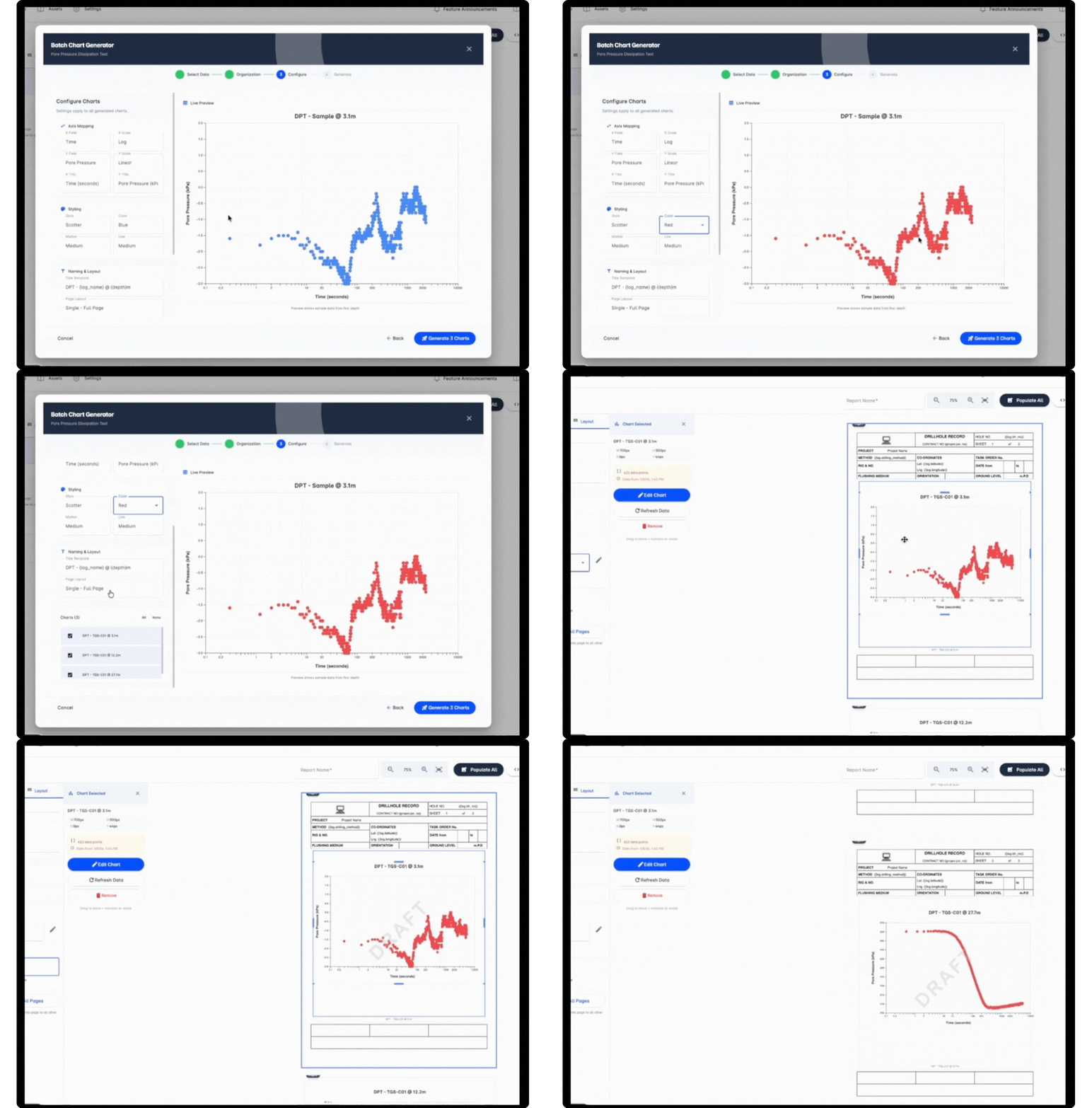
CSA Aligned Reporting, Exports and Data Integration
Produce professional, client ready borehole log reports aligned with Canadian standards including CSA guidance and provincial requirements. TabLogs ensures consistent formatting across projects while enabling structured exports for geotechnical design teams, laboratories, regulators and asset owners. Ground investigation data remains portable and accessible across provinces, disciplines and long term project lifecycles.
- Borehole log outputs aligned with CSA standards
- Customisable company branding
- PDF and structured digital outputs
- Export to CAD and GIS systems
- Open APIs for custom integrations
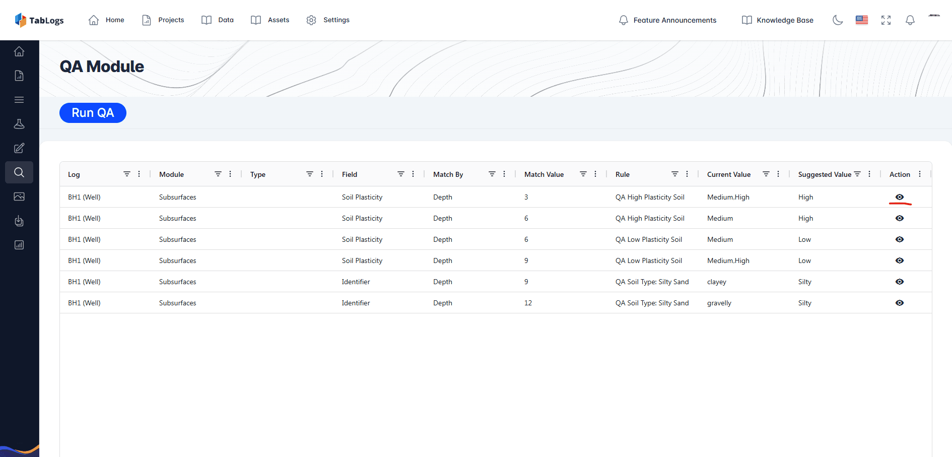
Built In QA and Standardised Borehole and Site Logging
Improve data quality at the point of capture. TabLogs applies structured logging workflows and validation rules to reduce variability between engineers and drilling crews. Standardised templates and controlled fields support internal QA processes and reduce time spent correcting logs before submission to clients or regulators. All borehole and sampling data is stored in a structured, searchable database to support long term data management and auditability.
- Controlled terminology and dropdown selections
- Required fields and validation logic
- Standardised material descriptions
- Reduced transcription and formatting errors
Plan and Manage Site Investigations from the Office
Coordinate multi site investigations across Canada from a centralised workspace. Plan borehole locations, assign field teams, track progress and review incoming data in real time. Office based project managers can oversee projects in multiple provinces without waiting for paper logs or delayed uploads.
- Propose borehole and sampling programs
- Assign roles and permissions
- Monitor drilling progress and log completion
- Review field data before final report issue
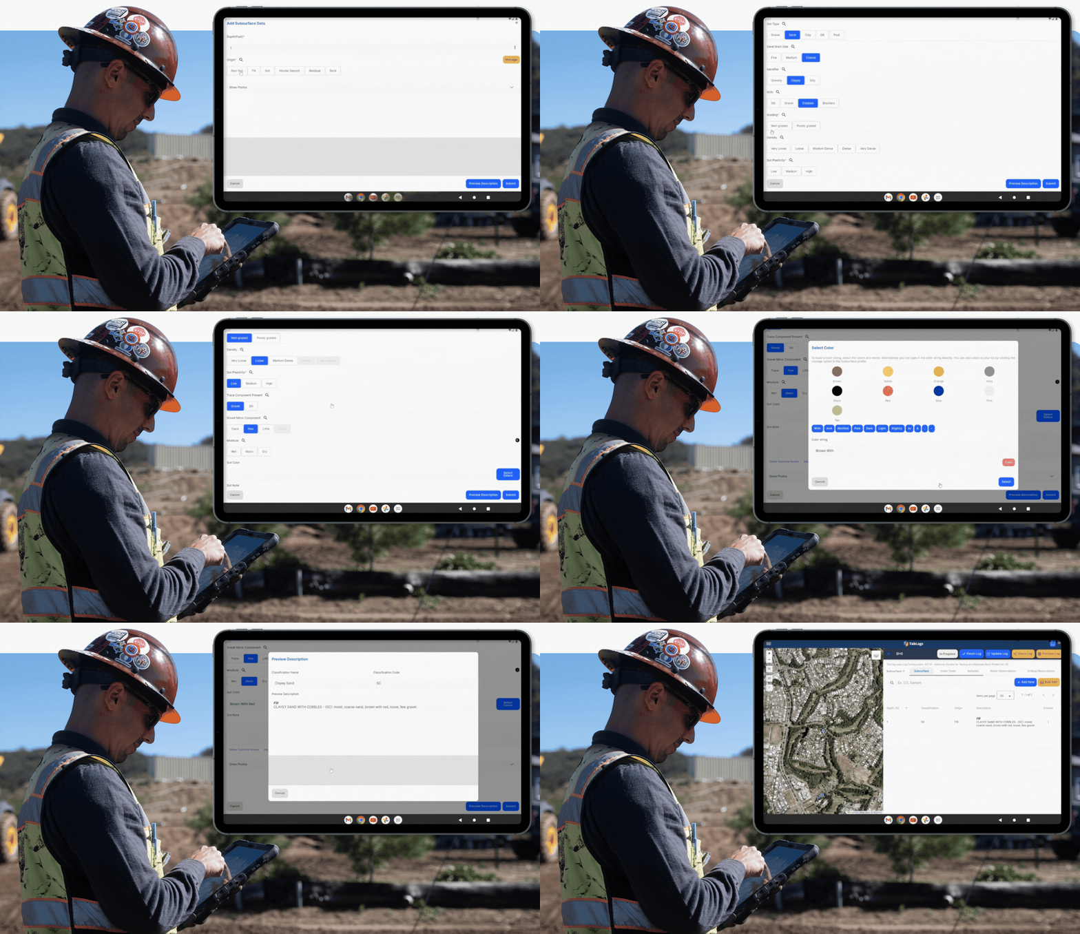
Digital Borehole Logging in the Field
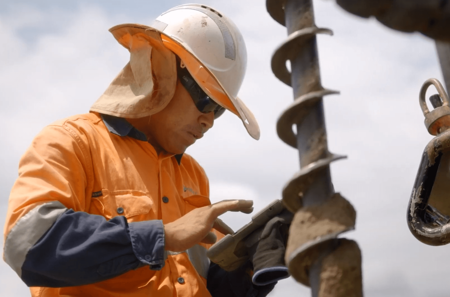
Capture borehole, test pit and core logging data digitally while drilling across Canada. TabLogs supports soil classification, rock logging, sampling records, groundwater observations, SPT and CPT data collection directly in the field. Offline functionality ensures reliable logging in remote northern regions, mining projects and linear infrastructure corridors, with automatic synchronisation once connectivity is restored.
- Capture borehole, test pit and core data
- Log SPT, CPT and sampling records
- Record groundwater levels and well construction
- Log online or offline
- Structured workflows to maintain consistency
- Log to relevant Canadian standards and project specifications
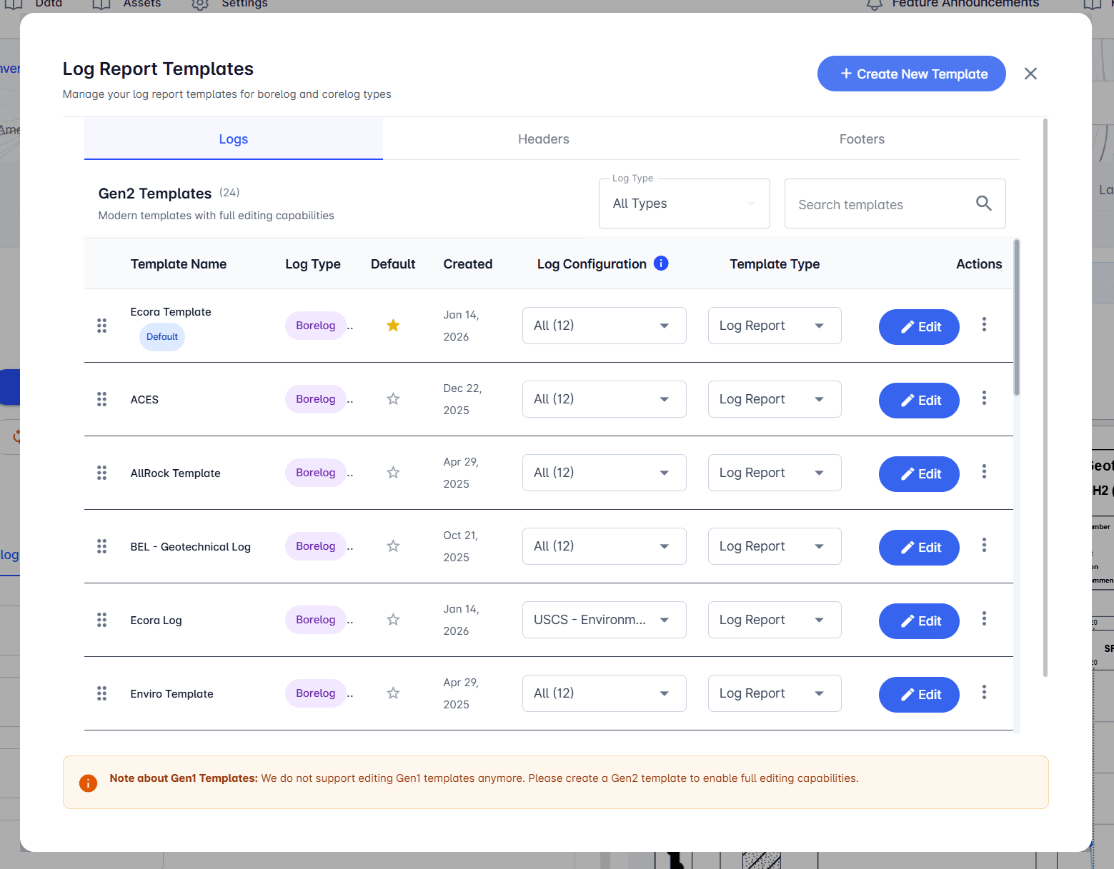
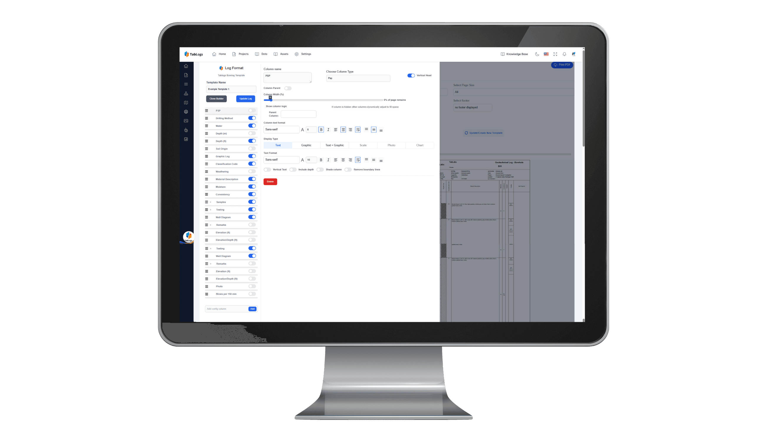
Customisable Borehole Log Report Templates
Maintain your firm’s reporting standards while adapting to different project types. Build and manage a library of customisable borehole log templates suited to transportation, mining, environmental, energy and municipal infrastructure projects. Ensure consistency across offices while retaining flexibility for unique client requirements.
- Charts and depth scales
- Rock core imagery
- Well construction diagrams
- Photographs and sample logs
- Company specific layouts and branding
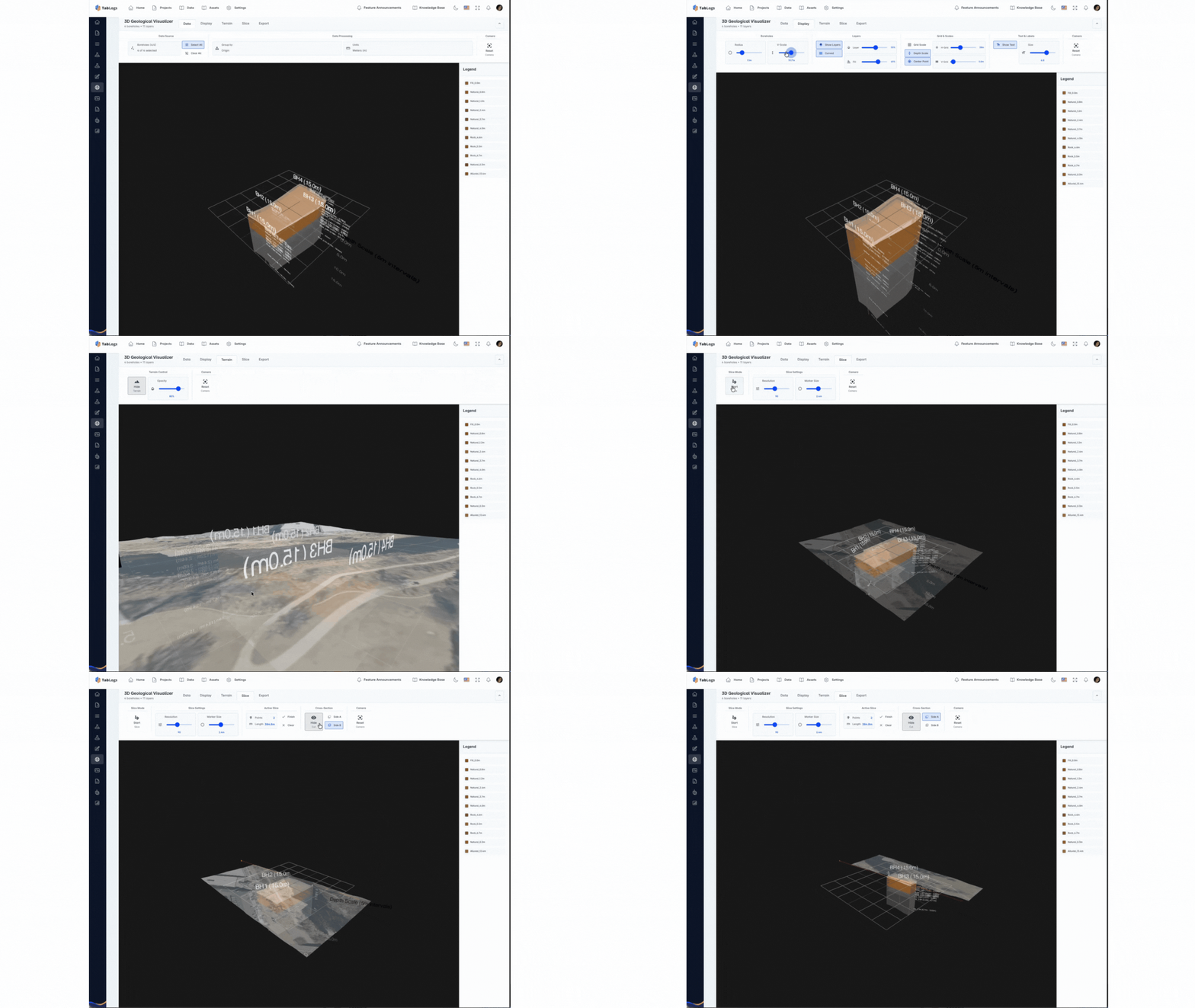
Visualise Borehole and Subsurface Data with GIS and 3D Models
Interpret subsurface conditions within a spatial and database driven environment. Map boreholes, review long sections and visualise subsurface variability to support design review, stakeholder communication and risk assessment across complex Canadian projects. Visual tools help teams understand subsurface variability across transportation corridors, urban developments and resource projects.
- Geological mapping overlays
- Long section diagrams
- Database querying and filtering
- Site plan overlays
- 3D subsurface visualisation
- Photo logs linked to boreholes
Enterprise Scale Collaboration Across Canada
Support collaboration across offices, disciplines and provinces without per user licensing barriers. TabLogs enables engineers, project managers, reviewers and clients to securely access and contribute to projects within a controlled environment. Designed for growing Canadian consultancies and national engineering firms managing large portfolios of ground investigation projects across multiple provinces.
- Unlimited users
- Unlimited projects and logs
- Multi office and multi province project visibility
- Role based access control
- Enterprise grade security
- Predictable pricing structure