Geotechnical Engineering Software for Modern
Drilling Programs
TabLogs is cloud-based geotechnical engineering software built for US consulting firms running active drilling programs. It replaces disconnected field systems and legacy desktop tools with structured digital logging, centralised subsurface data management, and automated ASTM-compliant reporting — without the IT overhead of enterprise database platforms. Used by 400+ geotechnical and environmental consulting firms across the US, Australia, Canada, and New Zealand.

Trusted by leading companies worldwide

How Geotechnical Engineers Use TabLogs Across a Drilling Program
From active drilling through reporting and project oversight.
Field Logging During Drilling
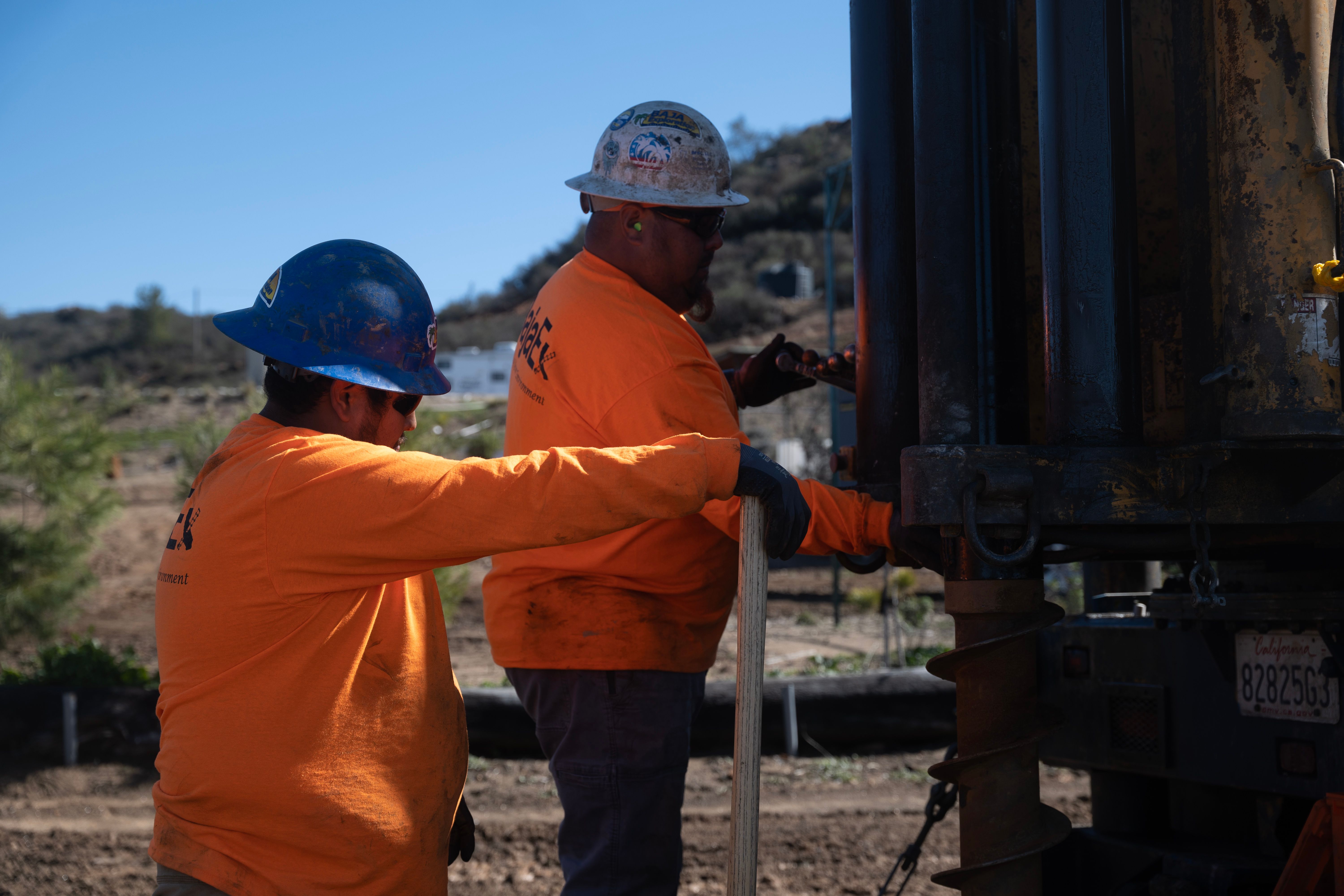
During active drilling, engineers and field staff capture borehole and core data digitally as subsurface conditions are encountered. Structured soil and rock descriptions, configurable templates, and validation prompts help maintain internal standards while preserving engineering judgement in changing ground conditions. Offline capability ensures data capture continues uninterrupted in remote locations.
Investigation Oversight and Project Visibility
As drilling progresses, data is stored within a central project environment accessible to office-based engineers and managers. Teams can monitor borehole depth, stratigraphy trends, sampling intervals, and rig progress in near real time. Early visibility reduces surprises, prevents missed intervals, and improves coordination across multiple drilling crews.
Reporting and Review
When projects move into interpretation and reporting, field data is already structured and consistent. Engineers generate professional boring logs directly from captured records, reducing duplicate entry and minimizing late-stage QA corrections before deliverables are issued.
Standardizing Logging Across Teams and Projects
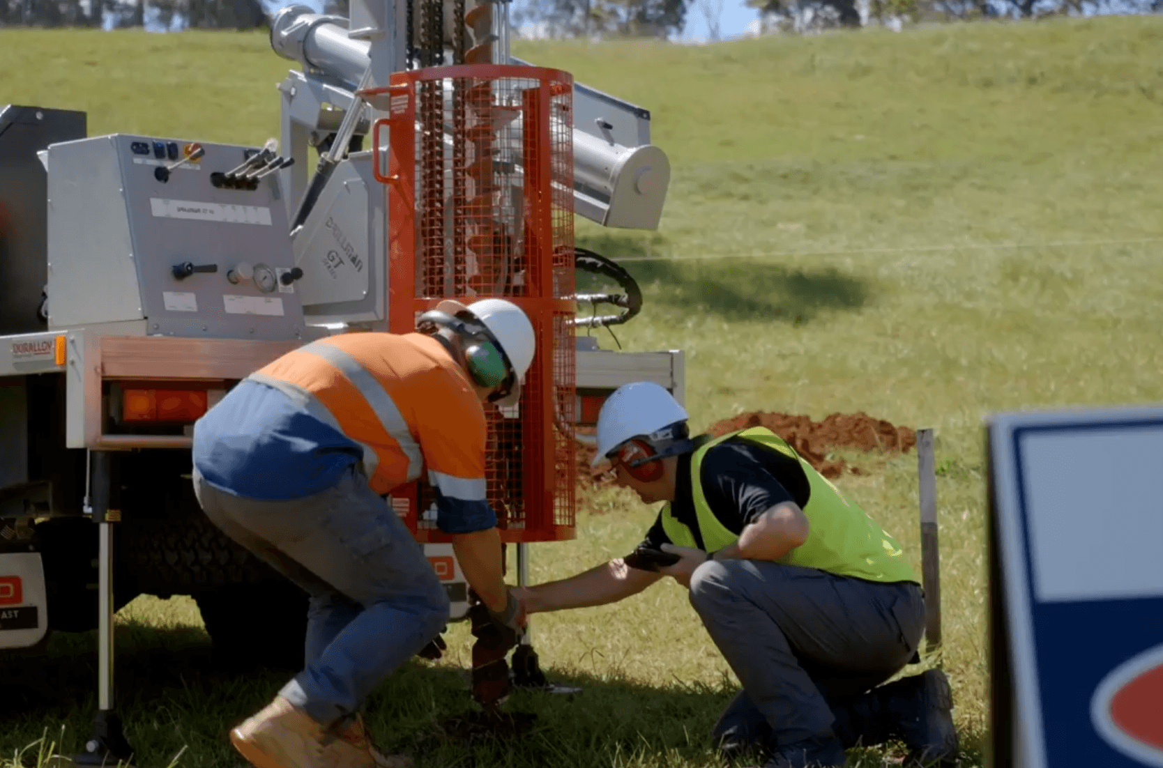
Maintaining consistent subsurface descriptions across engineers, offices, and regions is a persistent operational challenge. Structured digital logging helps firms standardize classification systems, depth intervals, and terminology without removing professional discretion. This consistency strengthens internal QA processes and improves the reliability of deliverables across projects.
Managing Multi-Rig and Multi-Site Programs
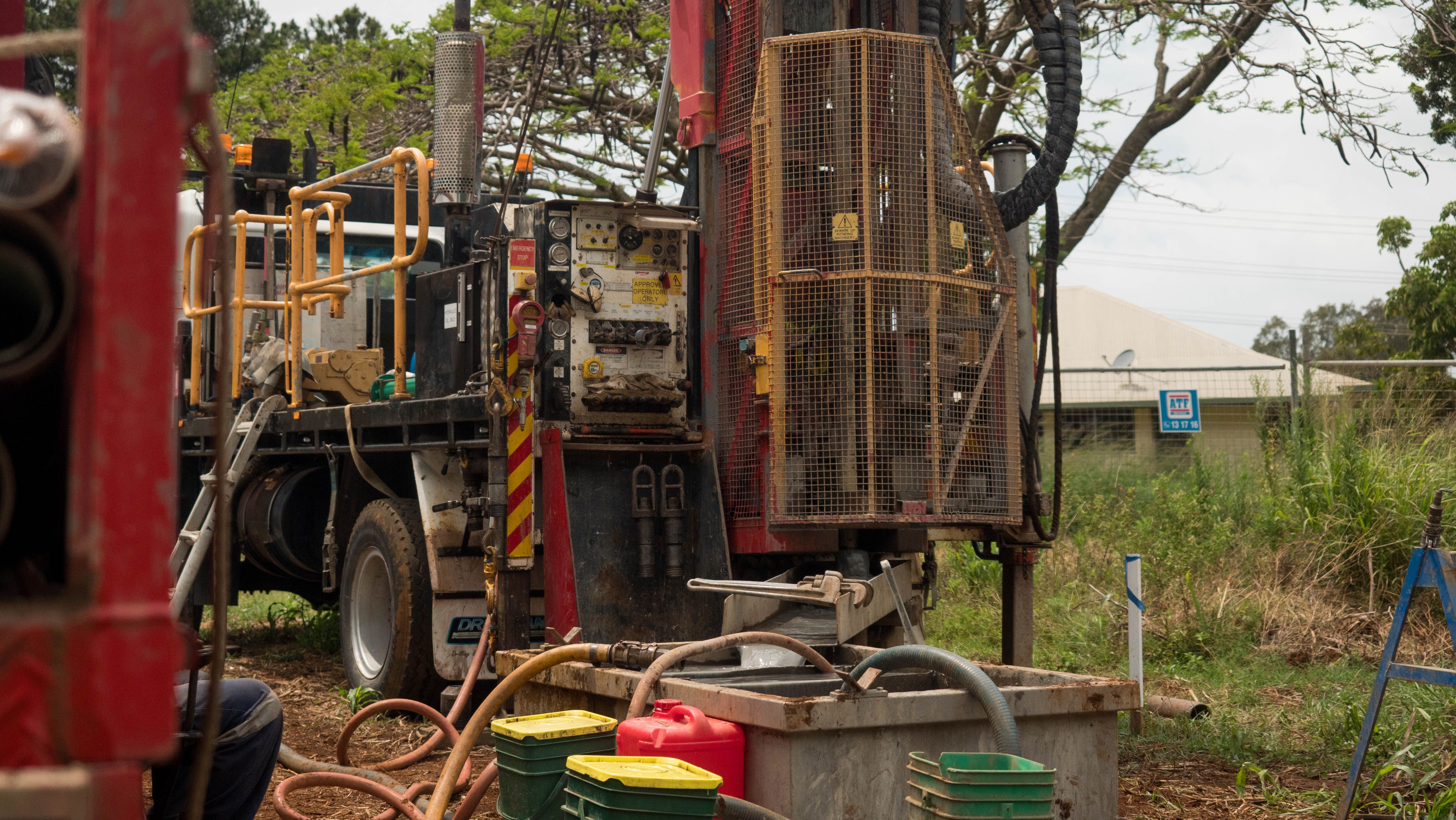
Large investigation programs often involve multiple drilling crews operating simultaneously across different locations. Without central oversight, teams can lose visibility into progress, missing intervals, or inconsistencies between boreholes. Centralized project dashboards allow managers to monitor drilling activity, review logs while rigs are still on site, and coordinate field and office teams efficiently across complex programs.
Managing Data Across Every Geotechnical Boring Program
Every geotechnical boring program generates data differently depending on drilling method, sampling frequency, and site conditions. But that doesn't mean the reporting standard at the end should change. TabLogs captures boring data as it comes off the rig, applies your firm's classification and formatting standards consistently, and outputs clean logs regardless of program size or drilling method used.
Supporting Industry Logging Practices
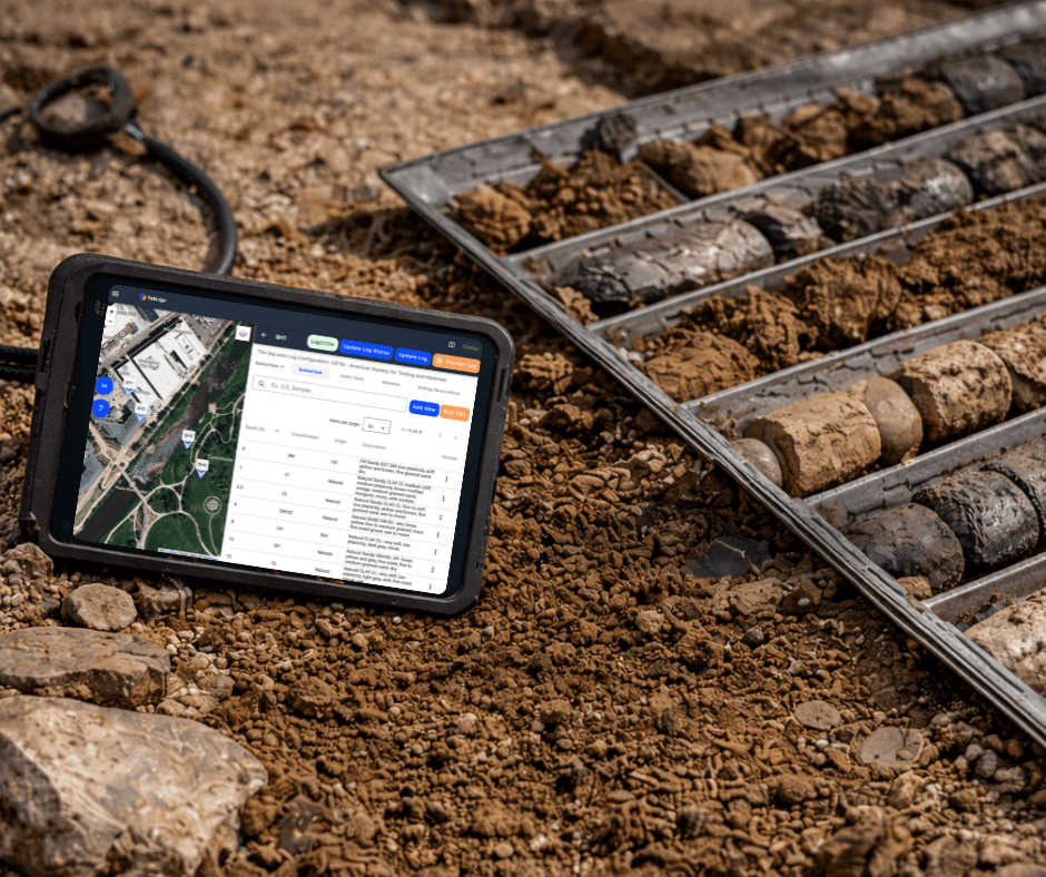
TabLogs supports widely adopted geotechnical standards including ASTM D2487 soil classification and related subsurface documentation practices. Configurable templates allow firms to align logging workflows with client requirements or internal guidelines while maintaining structured, searchable data.
Connecting Field and Office Teams
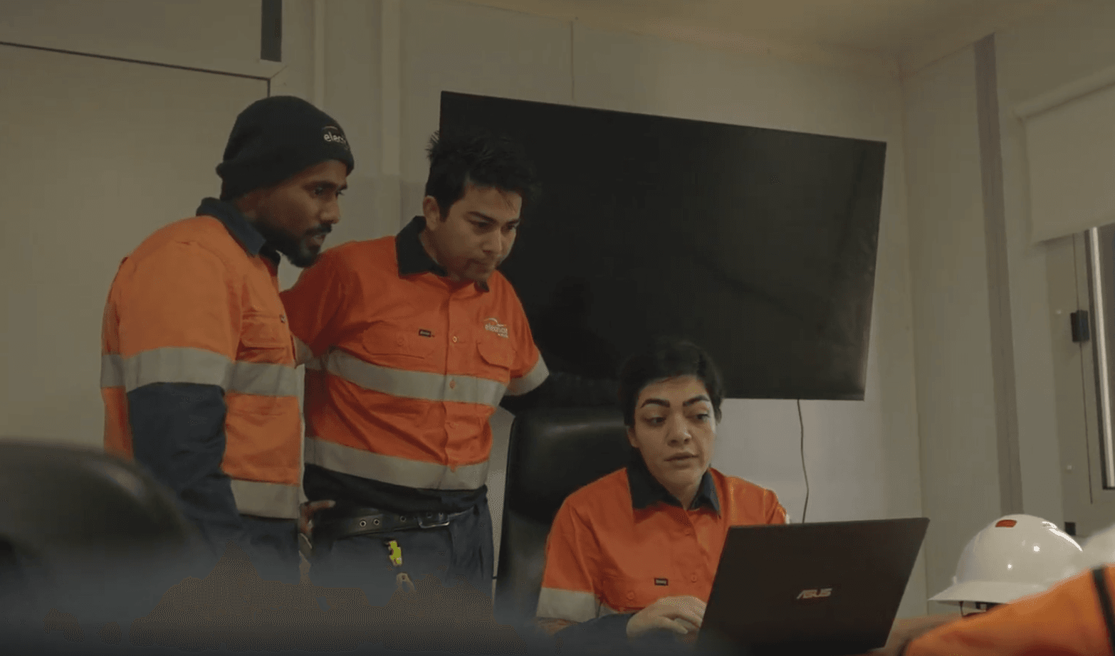
Modern site investigations require seamless collaboration between drilling crews, field engineers, project managers, and reporting staff. Centralized project data enables office-based engineers to review borehole logs while drilling is underway, improving decision-making and reducing rework caused by missing or unclear information.
Working Alongside Existing Systems
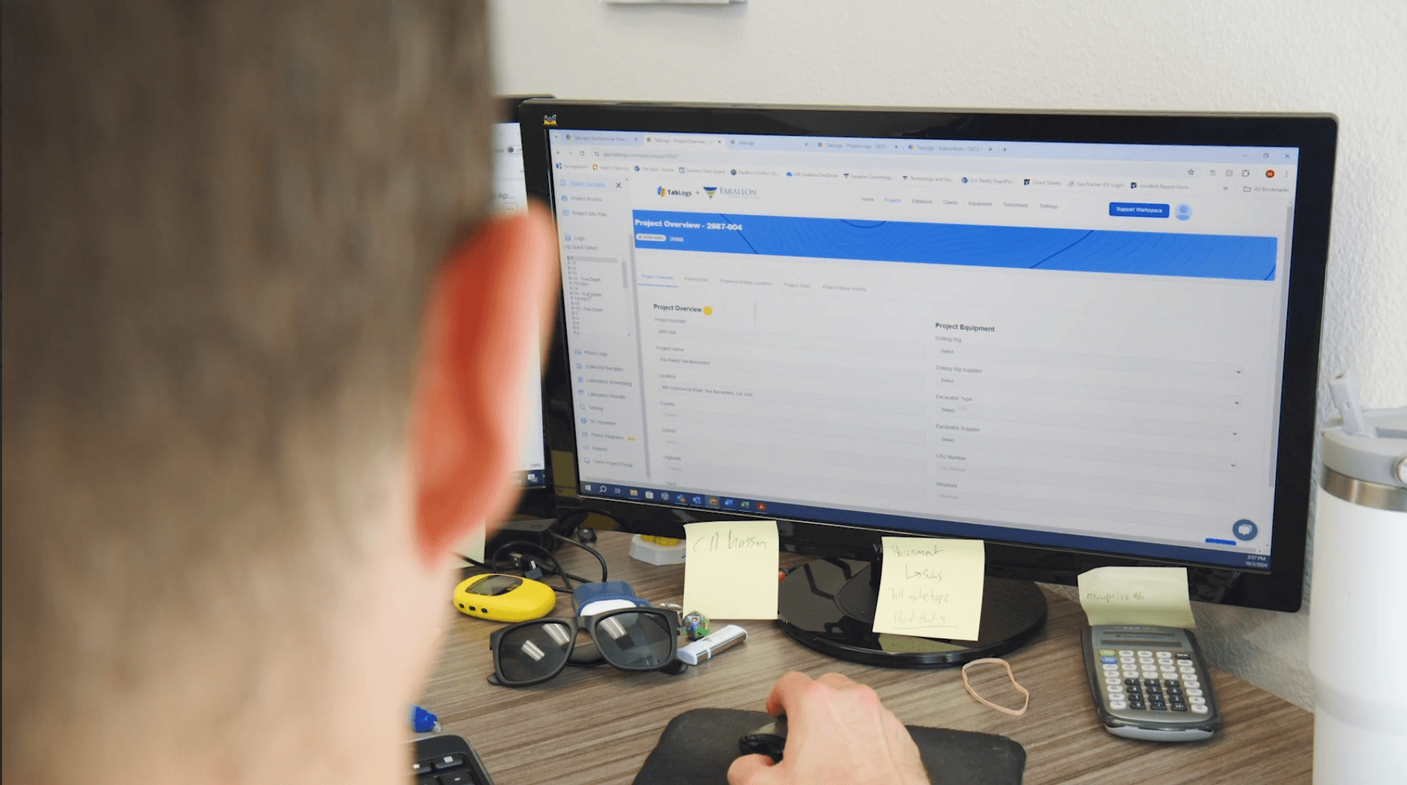
Many firms continue to operate legacy desktop tools. TabLogs supports gINT data migration, allowing firms to import historical borehole databases and transition to a cloud-based workflow without disrupting active projects.
Replacing gINT with a modern cloud-based platform
With Bentley gINT support evolving and US firms reassessing their geotechnical software stack, many consulting firms are evaluating cloud-based alternatives. TabLogs supports full gINT database migration, allowing teams to import historical borehole data, standardise logs to ASTM D2487, and continue active projects without disruption. Unlike desktop-first systems, TabLogs is accessible from any device in the field or office without VPN or IT configuration.
Who TabLogs Supports in Geotechnical Projects
TabLogs is well suited to:
- Geotechnical consulting firms managing recurring drilling programs
- Multi-office teams standardizing logging across regions
- Engineers replacing gINT with a modern cloud-based platform
- Project managers needing real-time visibility across active drilling sites.
Explore the Complete TabLogs Platform
For a full overview of TabLogs boring log software features, automated reporting tools, and gINT migration support, visit the main TabLogs homepage or sign up for a free trial below.
Ready to modernize your geotechnical workflow?
Join 400+ consultancies using TabLogs for their geotechnical investigations.